Image de diaporama
» » » » Mont Lozère - Florac - Carte IGN TOP 25

Mont Lozère - Florac - Carte IGN TOP 25

-9782758543107

IGN TOP 25 hiking and outdoor map of Mont Lozère, Florac and the Cévennes National Park with long distance hiking itineraries.

Quantity : 
+
-
Available Product available

13.40 €
With this article earn 13 Points

Genre

Publishers

description
Notice

IGN hiking map around Mont Lozère


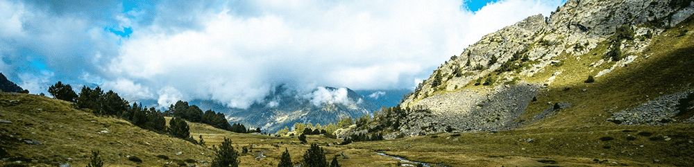
This IGN map at 1:25,000 scale allows you to prepare your hike or bike ride around the Mont Lozère, Florac and in the Cevennes National Park. 


This IGN map includes : 

  • Map at 1/25 000
  • Compatible with the GPS system 
  • Contour lines 
  • Tourist information 
  • Long distance hiking itineraries


Characteristics : 

  • Edition : 2018
  • Language : French, English, German
  • Dimensions : 23.8 X 11.1 cm
  • Weight : 0.100 kgs
  • Publisher : IGN TOP 25
Back to top
description
Notice

Reviews about this Mont Lozère - Florac - Carte IGN TOP 25 (0 reviews)

There is no review for this item.
Back to top

Customers who bought Mont Lozère - Florac - Carte IGN TOP 25 also bought :