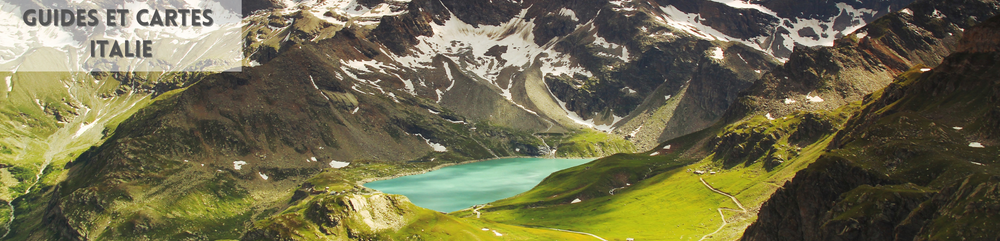
South Tyrol, cycle map
Cycling map of South Tyrol at 1:100,000 to prepare your cycling trip in this region of the Alps and Dolomites. Italian province, located in the northeast of the country and on the border of Austria and Switzerland. Mainly mountainous region. The majority of residents speak German and 1/4 of the population Italian.
Very well detailed, you will find the towns of Bozen, Brixen, Bruneck, Eisacktal, Meran, Pustertal, Sarntal, Ultental.
As well as lakes such as: Lake Resia, Caldaro, Carezza, Monticolo, Braies, Ste Justine, Vernago, Pian Palu...
The Holland cycle map includes:
- Selected MTB routes
- Information on road surfaces and traffic levels
- Street names
- Precise measurements of distances and inclinations
- Information on tourist sites
- Many updates
Features :
Edition : 06/2018
Language : German - Italian
Dimensions : 1000x680 mm
Printing : Waterproof double-sided
Weight : 0.096 kgs
Publisher : Bikeline